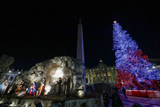
Sunday's Immacolata Holiday, when the
Roman Catholic Church marks the Immaculate Conception of the
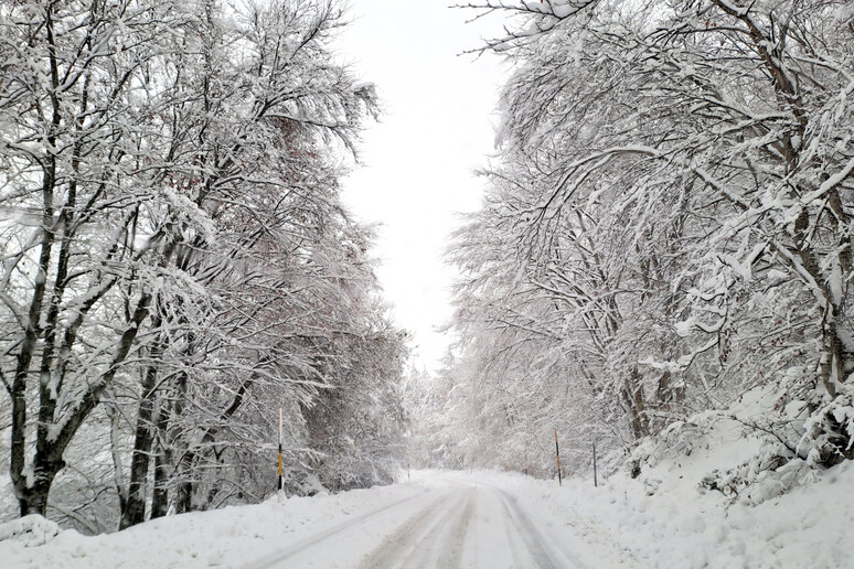
Virgin Mary, will be hit by high winds, heavy rain and snow even
at low altitudes, weathermen said Wednesday.
"A cold mass of air coming directly from the North Pole in the
next few days will cross Europe and then dive into the
Mediterranean Sea, affecting Italy," said Antonio Sanò, founder
of the site www.iLMeteo.it..
"Already starting today the most affected areas will be the
Adriatic slopes and the South. But Thursday will be the rainiest
day for these regions, where in addition to the rain, sometimes
heavy, it could snow up to 900-1200 meters. Also on Thursday,
colder winds will start to blow from the northern and
north-eastern quadrants responsible for a drop in temperatures
in the North.
"During Saturday 7 December, the cold air will press against the
Alps and, unable to overcome them, will break into the
Mediterranean partly through the Rhone Valley (south-eastern
France) and partly from the Porta della Bora (Julian Alps).
"By the evening, the weather will worsen more and more widely in
the North with precipitation of a predominantly snowy nature on
the Alps and Prealps and during the night locally also on the
flat areas of Piedmont, Lombardy, upper Veneto and upper Friuli.
"On Sunday 8 December due to the cold air we will have a storm
of Mistral and Libeccio winds, with gusts up to over 90 km/h and
consequent storm surges especially between Liguria and Tuscany
and on the Tyrrhenian coasts and in Sardinia.
"While the weather will improve in the North, the bad weather
will concentrate on Tuscany, Lazio, Umbria, Campania, Sardinia
and then Sicily.
"In addition to heavy rain with the risk of thunderstorms,
widespread snow will also fall on the Apennines. The climate
will cool further next week."
Detailed three-day forecast:
- Wednesday 4. In the North: gradually slightly cloudy skies. In
the Center: rain on the Adriatic. In the South: scattered
precipitation.
- Thursday 5. In the North: mainly good weather, colder. In the
Center: bad weather on Abruzzo and Molise with snow at 850
meters. In the South: widespread bad weather, cloudbursts in
Sicily, Calabria and Puglia.
- Friday 6. In the North: sunny. In the Center: mainly good
weather. In the South: last rains on the Ionian. - Outlook:
worsening over the Immaculate Conception weekend with strong
winds, rain and snow.
ALL RIGHTS RESERVED © Copyright ANSA
